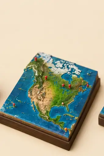
North America · Continent
North America · Identify
Learn to tell North America countries apart from a single street view. 39 clues, from the obvious ones to the subtle details.
39cards
39images
10countries
46 KBoffline
Authors: Lireax · Source: A Learnable North America - Identify Every Country
About this deck
Cards are studied with spaced repetition: each one comes back right before you forget it, and progress is shared with every deck that holds the same meta. With 39 cards, at 20 new a day it takes about 2 days to see them all once.
Countries covered
🇺🇸 United States of America 🇧🇲 Bermuda 🇨🇦 Canada 🇩🇴 Dominican Republic 🇬🇱 Greenland 🇬🇹 Guatemala 🇲🇽 Mexico 🇵🇦 Panama 🇵🇷 Puerto Rico 🇻🇮 United States Virgin Islands
×12 / 20
 © Google
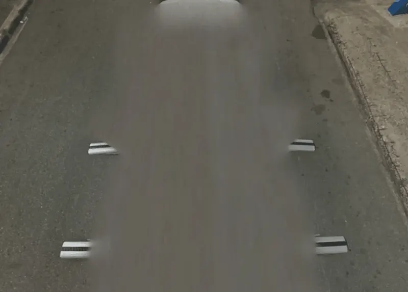
In which country do you see this Street View car?
🇩🇴 Dominican Republic🇬🇹 Guatemala🇨🇼 Curaçao🇲🇳 Mongolia
🇩🇴 Dominican RepublicThe two metal roof bars with thick black stripes and the white front hood identify this car as the one used for all Dominican Republic coverage, which is limited to Santo Domingo and Santiago de los Caballeros. One Mongolian car shares similar stripes, but the landscape gives it away; cars with bars in Guatemala and Curaçao lack the thick black stripes.
×12 / 20
 © Google
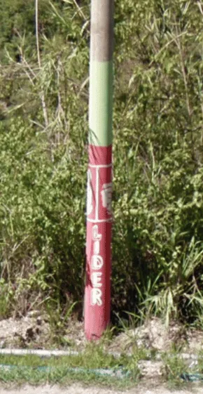
In which country do you see this painted utility pole?
🇬🇹 Guatemala🇲🇽 Mexico🇵🇦 Panama🇱🇦 Laos
🇬🇹 GuatemalaIn Guatemala, utility poles are very commonly painted pink, green, or a combination of both colors.